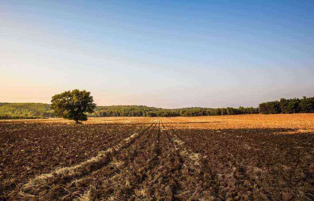
One of the most common problems that affect the owners of large properties, such as farms, is the lack of correct demarcation of their lands. This explains why some get involved in territorial disputes with their neighbors, often over a matter of a few meters.
The best way to solve this problem is to carry out the georeferencing of the rural property, a concept that, despite being very useful and advantageous for the business in several aspects, is still poorly understood by producers in the agricultural sector.
For this reason, today we will talk about what is farm georeferencing. Know the importance of the concept for these rural properties and other relevant information you need to know about the subject.
Do you need products or services for your rural business? Check out the best deals here!
What is georeferencing?
First, we must define what the concept of georeferencing is. Etymologically speaking, “geo” means “land” and “reference” is the same as “locate, take a point of reference”.
Therefore, georeferencing is nothing more than determine geographic position exact location of a given property on the globe. By means of topographic survey methods referenced to the Brazilian Geodetic System, it is possible to establish the area, perimeter, shape, characteristics and precise limits of the property in question.
What is farm georeferencing?
Now that we know that georeferencing allows us to know exactly the location of a property on Earth, it’s easy to understand how it applies to farms. As we are talking about huge tracts of land, the concept becomes even more necessary for an accurate determination of the boundaries of the property.

Knowing the exact boundaries of your property has numerous advantages.
Why georeference farms?
The georeferencing of farms is an obligation that landowners have before INCRA (Instituto Nacional de Colonização e Reforma Agrária). The body requires a report on the exact positioning of the property within the national territory with the objective of guaranteeing its legality, based on a database of the institution itself.
More than that, the analysis of the body is essential for obtaining the Certificate of Registration of Rural Property (CCIR), a document necessary for most procedures involving the property, from requesting government benefits to sharing the rural property.
Advantages of applying georeferencing on farms
Georeferencing should not be seen only as a bureaucratic issue, but also as a way to gain advantages for the agricultural business. Meet some of them:
• Avoids territorial disputes with neighbors, since the owner knows exactly and without any doubt the limits of his lands;
• Increases the farm owner’s knowledge of his own lands;
• It helps to improve the mobility and traceability of land, which also improves the way in which the owner uses his space in a more appropriate way with cultures and division of plantations;
• Allows for more efficient crop control, which consequently increases productivity;
• Allows the owner to advance in the management of his business without having to be physically in the field all the time.
What else do you need to know about the subject?
Finally, we’ve gathered some more information about georeferencing that you need to know:
• It must be carried out by professionals trained in topography and certified by official bodies, such as INCRA and CREA;
• It takes from three months to a year to complete, depending on the size and location of the property, access to it and technology used;
• It is divided into planning, demarcation, measurement, reporting and certification stages;
• Maximum precision error accepted by INCRA is 50 centimeters for the coordinates;
• It can be done with drones (unmanned aerial vehicles) or GPSs, depending on the difficulty of accessing the rural property;
• Properties that have between 25 and 100 hectares have until 2023 to register and those smaller than 25 hectares, until 2025.
Want to understand how a farm works and its production? Find out more here.

